


Object Detection & Identification
Autonomous vehicle image annotation identifies vehicles, pedestrians, traffic signals, road signs, and other relevant objects. Annotators apply suitable techniques to prepare datasets for object detection and identification in autonomous driving applications.
ADAS Systems
ADAS data annotation prepares high-quality training datasets for advanced driver assistance systems (ADAS). Annotated road scenes help train and evaluate computer vision models for essential driving-safety and assistance applications, including:
- Parking Assistance: Identifying vehicles, parking spaces, and nearby obstacles.
- Collision Warning: Labelling relevant road users and objects to support collision-risk detection.
- Traffic Sign Detection: Identifying and classifying traffic signs and road signals.
- Pedestrian Detection: Locating pedestrians in different road and traffic conditions.


In - Cabin Monitoring System
In-cabin image and video annotation supports driver monitoring models that analyse visible activities and movements. Depending on project requirements, annotations can cover distraction, drowsiness, head pose, eye gaze, and other observable driver behaviours. These labelled datasets help train computer vision models for driver attention monitoring and in-cabin safety applications.
Traffic Signal Analysis
Traffic signal analysis involves annotating traffic lights, road signs, and relevant signal attributes using suitable techniques such as bounding boxes and polygons. Traffic-light labels can also include the visible signal state, depending on the annotation guidelines. These datasets support computer vision models designed to recognise traffic signals and interpret road conditions.


Obstacle Warning System
Self-driving car data annotation helps prepare structured datasets featuring road obstacles such as animals, fallen trees, and other hazards. By accurately labelling these objects in road-scene imagery, annotation teams support the development of perception models designed to detect obstacles and assist driving-safety applications.
Number Plate Detection
Vehicle images are annotated to identify number plates using suitable techniques, including bounding boxes or polygons. Where required, plate text can also be transcribed according to project guidelines and applicable data-handling requirements. These datasets support computer vision models for number plate detection and recognition.


Lane Line Detection
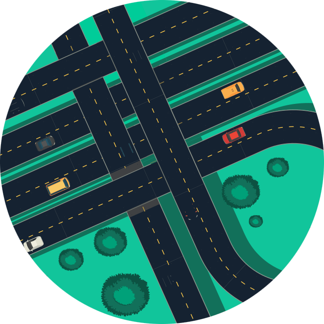
Lane line detection relies on accurate annotation of lane markings, road edges, and other relevant road features using techniques such as polylines. These labelled datasets help train computer vision models to identify lane boundaries, interpret road layouts, and support road-scene understanding for autonomous driving applications.
Sensor Fusion
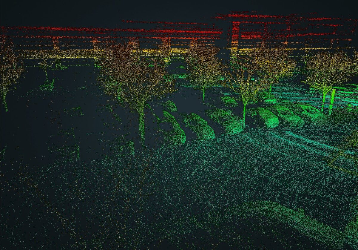
Autonomous driving systems may combine camera imagery with LiDAR or radar data to develop a more comprehensive understanding of the driving environment. LabelOps supports annotated datasets for suitable sensor-fusion workflows, including the labelling of relevant objects in 3D point clouds where required. These datasets help AI teams train and evaluate perception models across supported sensor modalities.








Frequently Asked Questions
Image annotation for autonomous vehicles is the process of labeling objects and road features in images or video frames so that computer vision models can be trained and evaluated. Common labels include vehicles, pedestrians, traffic signs, traffic lights, and lane markings.
Autonomous vehicle data annotation prepares datasets for tasks such as object detection, road-scene understanding, lane detection, traffic sign recognition, and driver monitoring.
ADAS data annotation involves labeling relevant objects and visual features in driving data for applications such as parking assistance, pedestrian detection, traffic sign recognition, and collision-warning systems.
Semantic segmentation assigns a class label to each pixel in an image. For autonomous driving, classes may include roads, sidewalks, vehicles, pedestrians, and vegetation, depending on the dataset requirements.
Image annotation labels objects and features in 2D images or video frames. LiDAR point cloud annotation labels objects in 3D point cloud data. The appropriate method depends on the sensor, model requirements, and project scope.
Consistent labels, clear category definitions, quality checks, and review procedures help reduce annotation errors and improve dataset suitability for model training and evaluation


